The Sino-Indian dispute over the Indo-Tibetan border is one of the most contentious geopolitical disputes in Asia. The conflict can be traced back to the disappearance of Tibet as a strategic buffer between China and India. Soon after the occupation of Tibet, China began to expand its influence in the Himalayan regions. The Chinese strategists charactersised Tibet as its “palm” with Ladakh, Nepal, Sikkim, Bhutan, and Arunachal Pradesh as its “five fingers”. As a result, exerts control over Tibet to assert its claim over Arunachal Pradesh.
Tibet’s Historical Relations with the Monyul
Tibet’s historical relations with Monyul have can be traced since the establishment of the Tibetan Empire. But this article focuses on Tibet-Monyul relations during the late 17th to early 20th century. According to early Tibetan sources, Monyul is situated in the southern part of Tibet. It was also known as Lho-Mon, the southern belt of Tibet. Before the emergence of the kingdoms of Bhutan and Sikkim, Lho-Mon was referred to the people who live in the south Tibet. According to the historical sources of Bhutan, Sikkim, and Tibet, Lho-Mon is referred to as the inhabitants in south Tibet which includes Bhutanese and Monpas. Lho means south in Tibetan and Mon refers to the people inhabiting in the region.
One of the significant historical sources on Tibet’s relations with Monyul during the 17th century can be found in the biography of the 6th Dalai Lama (Thams cad mkhyen pa Blo BzangrinchenTsangsdbyangsrgyamtsho’ithung mong phyi’irnam par thar pa du ku la phrothubrabgsal ser gyisnye ma glegs bam dang po). The biography was authored by Desi Sangye Gyatso (1653-1705). It was initially published by Ganden Phuntsokling woodblock printing in Lhasa.
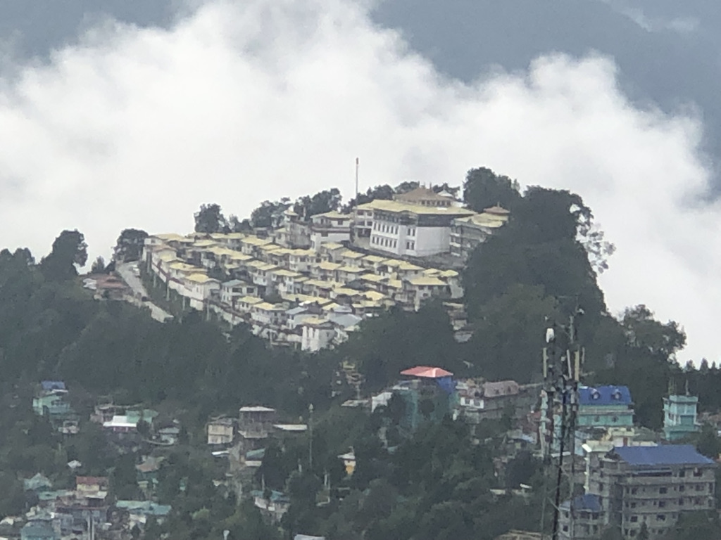
It was later reproduced in Gangtok in 1981. This biography records the early life of the sixth Dalai Lama from the years 1683 to 1701. The sixth Dalai Lama (Tseyang Gyatso) was born in Mon Urgenling in 1683. Mon Urgenling is currently located in the Tawang district of Arunachal Pradesh. Desi Sangye Gyatso recognized him as the reincarnation of the 5th Dalai Lama, Ngawang Lobsang Gyatso. At the time, Desi Sangye Gyatso was the regent of Tibet. This text holds the most significant historical records on the Tibet- Monyul relations during the Ganden Phodrang government of Tibet.
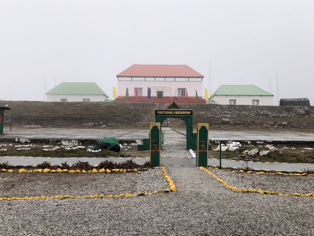
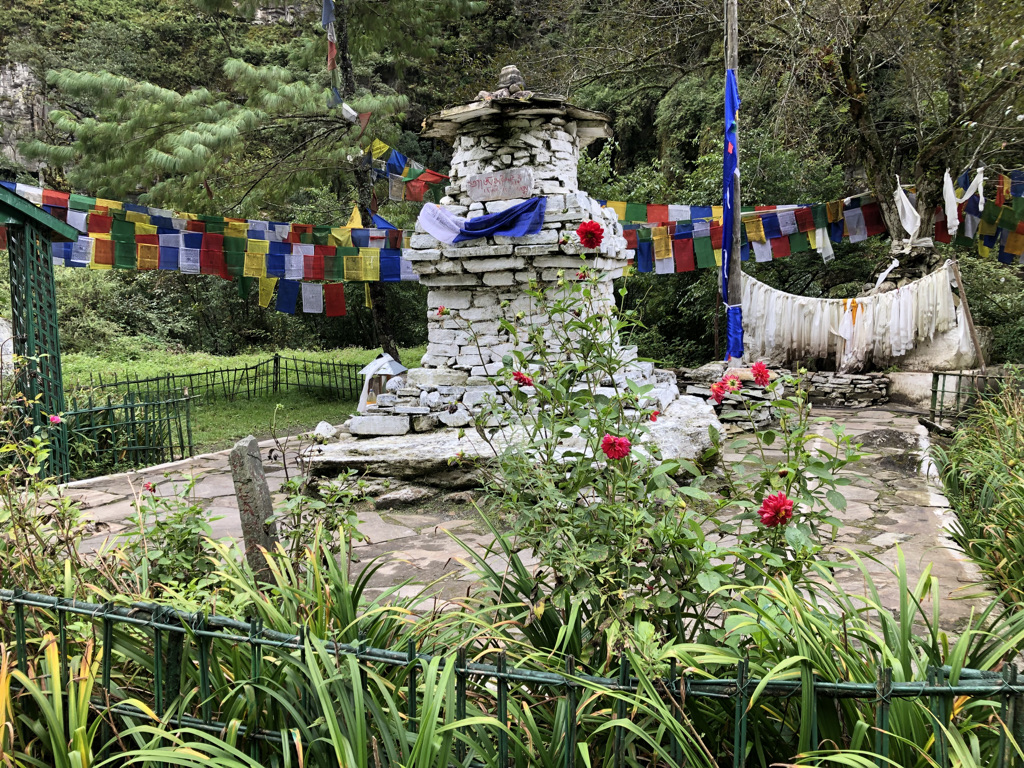
Since the 17th century, Tawang was one of the most important frontier administrative units of the Tibetan government of Ganden Podrang. This is illustrated by the two edicts in 1680 and 1731. These edicts were written in Tibetan. The 1680 edict was issued by the 5th Dalai Lama. The issuance of the 1731 edict is a reaffirmation of the 1680 edict, which affirmed the Mon region as an important border region and given primary concern to the monastic community in the Mon region. During the Simla Convention in 1914, Tawang was ceded to the British India.
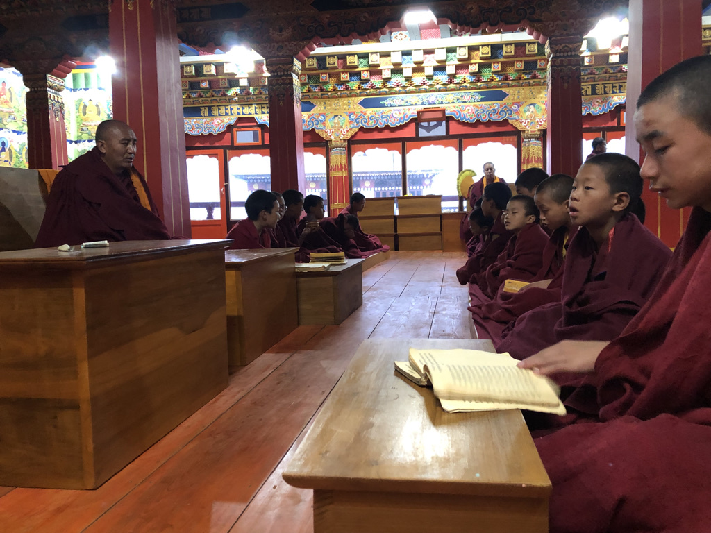
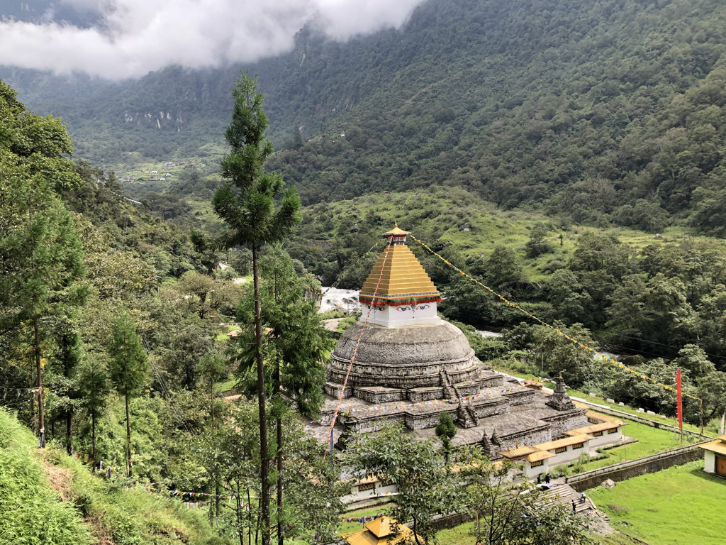
The political administration of Monyul was controlled by the Ganden Phodrang government of Tibet, which was founded in 1642. The 5th Dalai Lama became the spiritual and temporal ruler of Tibet. In 1680, the 5th Dalai Lama issued an edict and assigned Marag Lama Lodoe Gyatso and Tsona Dzong Chief Namkha Drukdhak to consolidate the political administration of Monyul. And, the Dalai Lama tasked Marag Lama Lodoe Gyatso to build a monastery in Monyul. Lodoe Gyatso took the personal initiative to build the Tawang Monastery by himself. Subsequently, it became a center for the spiritual and political powerhouse of Mon, which was directly governed by Lhasa. Under the direction of the 1680 edict issued by the 5th Dalai Lama, the Tawang Monastery governed the political administration in the Mon.
Based on the 1680 edict, the government of Tibet introduced the thirty-two Tsho (32-units) administrative system in Monyul and appointed heads of respective units (Tshogan). Tawang monastery had the authority to implement and collect taxes across the Mon region.
Tawang emerged as the center of the administrative decision-making body consisting of several layers of councils. Shi Drel was the highest decision-making body, a council of four representatives comprising lay and ordained managers of the ecclesiastical office of Tawang monastery, the abbot of Tawang monastery, and the governing council of Tawang monastery. These representatives served as the highest decision-making body in Monyul. Shi in Tibetan four and Drel means council, the council of four. The next highest decision-making body was the Tawang Druk Drel, or the council of six, comprising two representatives from Tsona Dzong and were added to the council of four.
Both Shi Drel and Druk Drel, the councils of four and six had the right to decide on issues relating to the borders, taxation, and law and order of Monyul.
The key members of both councils were appointed by Lhasa, while minor issues were decided by expanded councils such as the council of seven and council of nine, whose members were appointed from the thirty-two tsho units. These councils administered the four major districts of Mon, which covered the 32 village units. This political-administrative system in Mon was governed by Lhasa until the signing of the Simla Convention in 1914.
The Simla Convention and Monyul’s Political Transformation
The Simla Convention changed the political map of Monyul. The Simla Convention was signed and sealed by the Tibetan plenipotentiary Lonchen Gaden Shatra Paljor Dorjee and the secretary of the government of British India, Sir Arthur Henry McMahon, in 1914. During the Convention, Tibet and British delegates discussed and demarcated the boundary between Tibet and the North East Frontier of India. Finally, the McMahon Line was drawn as the border between Tibet and British India. Sir Henry McMahon, a British plenipotentiary of the conference, made a note on the memorandum regarding the progress of negotiations from 25 December 1913 to 30 April 1914 regarding the Indo-Tibet border in the Eastern Himalaya:
After prolonged discussion between Mr. Bell and my Tibetan colleagues, the latter and I exchanged notes, dated the 24th and 25th March which have at last formulated upon a large scale map a clearly-defined frontier extending for some 850 miles along the North-East Frontier of India, from the Irrawaddy-Salween Divide on the east to Bhutan on the west. The conclusion of an agreement in regard to this vast tract of tribal country, and the acceptance by the Tibetans of a recognized boundary, will so lighten our responsibilities, and so materially strengthen our position, that I cannot but regard this definition of the Indo-Tibetan frontier as not the least important and valuable of the results which have been achieved by the work of the conference (As recorded in The North-Eastern Frontier – A Documentary Study of the Internecine Rivalry between India, Tibet and China by Parshotam Mehra).
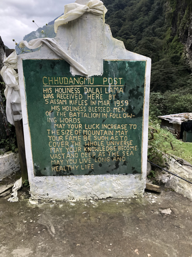
At the Simla Convention, an independent and sovereign state of Tibet legally ceded the Tawang region to British India. However, even after the Simla Convention, the government of Tibet exercised de facto power over Tawang. In 1951, under the leadership of Major Ralengnao Khathing, India took full control of Tawang. Later, the Tawang region was incorporated into the North East Frontier Agency.
Despite that, the People’s Republic of China regards McMohan Line as an illegal boundary between Tibet and India. This assertion was officially recorded in the book titled Premier Chou En-lai’s letter to the leaders of Asian and African countries on the Sino-Indian Boundary Question on November 15, 1962. The Chinese Premier Chou En-lai firmly stood on the issue, which he presented that “in the eastern sector, the area disputed by the India Government north of the traditional customary line has always belonged to China. This area comprises Monyul, Loyul, and Lower Tsayul, which are all part of the Tibet region”. Since then, China asserts its claim over the Indian state of Arunachal Pradesh.
Despite having the prolonged historical records on Tibet’s Monyul relations, the People’s Republic of China (PRC) regards the McMahon line as an illegal boundary between Tibet and India. To assert it, the PRC claims that the Simla Convention was signed with the “Local Authorities of Tibet”. As a matter of fact, the term local government of Tibet was imposed by the PRC for the first time during the signing of the Seventeen-Point Agreement in 1951 dealing with China’s pretext negotiating over Tibet affair. Chronologically, the Simla Convention was convened in 1913-1914. The delegates of British, Tibet, and China participated in the Convention on equal footing.
By exploring the historical sources dating back to the late 17th to 20th century on Tibet’s relations with Monyul, there was no record dealing with the Chinese political intervention asserted over the Himalayan regions along the Indo-Tibet border before the Chinese invasion of Tibet in 1950.
However, following the Chinese occupation of Tibet, China’s claim on Arunachal Pradesh as an integral part of the PRC has further distorted the prolonged historical relations between Tibet and Monyul.